
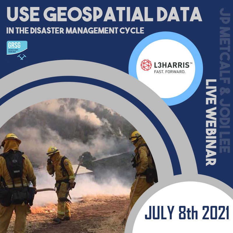
 Effectively Use Geospatial Data in the Disaster Management Cycle
Thursday 8th July, 2021
Man-made and natural disasters are occurring more frequently and with greater intensity, straining resources and challenging community resilience.
To help combat these disasters, organizations and governmental agencies can utilize remote sensing data to plan for, mitigate risks, and manage the response and recovery efforts when disaster strikes.
Join GRSG Member, L3Harris for a live webinar on July 8th
You will learn how your organization can combine remote sensing data and L3Harris technology with great impact during all phases of the disaster management cycle – mitigation, preparedness, response, and recovery.