 Australia may be the smallest continent but it is the sixth largest country in the world.
Its size and geological features coupled with variable climates provides a unique set of challenges and risks compared to any other country.
That’s why GRGS Corporate Member, Maxar has launched the MAXAR SPATIAL CHALLENGE, in partnership with ARLULA, an online platform that provides users with simple and affordable access to remote sensing data, and CONSILIUM TECHNOLOGY, a team offering professional consulting services and intelligent software solutions.
The challenge is designed to encourage collaboration to find new sustainable solutions to address Australia’s biggest challenges. Participants will leverage Maxar’s high-resolution satellite imagery and platform, along with other information sources, to build solutions for two categories:
Urban Spaces:
- Road/access path classification
- Broad-based urban planning using multiple information layers
- Tree canopy classification and tracking
- Urban heat analysis with its effect on livability
Regional Spaces:
- Tobacco crop identification
- Murray-Darling basin environmental sustainability analysis involving river systems, upstream/downstream utilisation, water usage modelling etc.
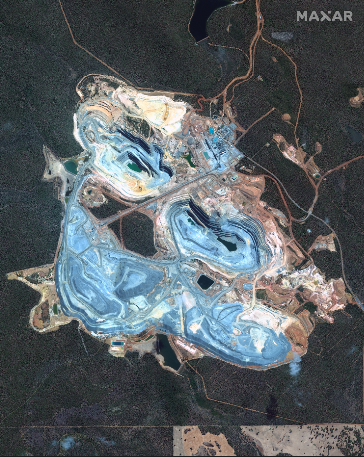
- Environmental assessment and monitoring over mining sites with tailing dams
- Timber stockpile analysis
- Almond orchards identification and modelling almond yield prediction
Maxar has solicited input on the above list from government agencies and corporations. Participants will be able to pick from the above challenges or provide their own. The next step is for interested individuals or teams to register to participate.
Training and data will be provided by organizers and the participants will have over six weeks to work on their solutions. Solutions will be due in mid-October, and winners will be announced in November.
Winners will receive attractive prizes valued more than AUD 30,000 ranging from cash to archive imagery to internship/research support.

