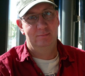
GRSG Committee Profile
David Coulter

David has a long career in geologic remote sensing with a focus on exploration for precious and base metals. He spent the first 18 years of his career working in the Newmont Mining Geophysical Research Department where he was responsible for image processing and remote sensing with a focus on Landsat TM alteration mapping.
After leaving Newmont in 2001 he worked on developing methods for analyzing ASTER imagery to map alteration and generating alteration maps for mining clients. In 2003 he was engaged on a NASA funded project to map natural acid drainage impacts using hyperspectral imagery which led to a PhD in 2006 focusing on source rock alteration.
Since then he has increasingly focused on mineral mapping with airborne hyperspectral imagery and has analyzed and interpreted many dozens of surveys. This was a long road that paralleled the improvements in hyperspectral sensors and computer technology. It was also a geologic learning experience – every hyperspectral survey teaches you more about the complexity and variability of hydrothermal systems.
One piece of advice?
“Geology is complicated and can be frustrating, but never stop learning about it and observing it. It is like learning to play an instrument, it takes time and hard work. But one day you will observe an outcrop or an image and you will see in your head the entire history of a piece of the earth.”
Qualifications:
BSc Geology, Kent State University
MSc Geological Engineering, University of Arizona
PhD Geology and Geophysics, Colorado School of Mines

